Gippsland Lakes Reserve
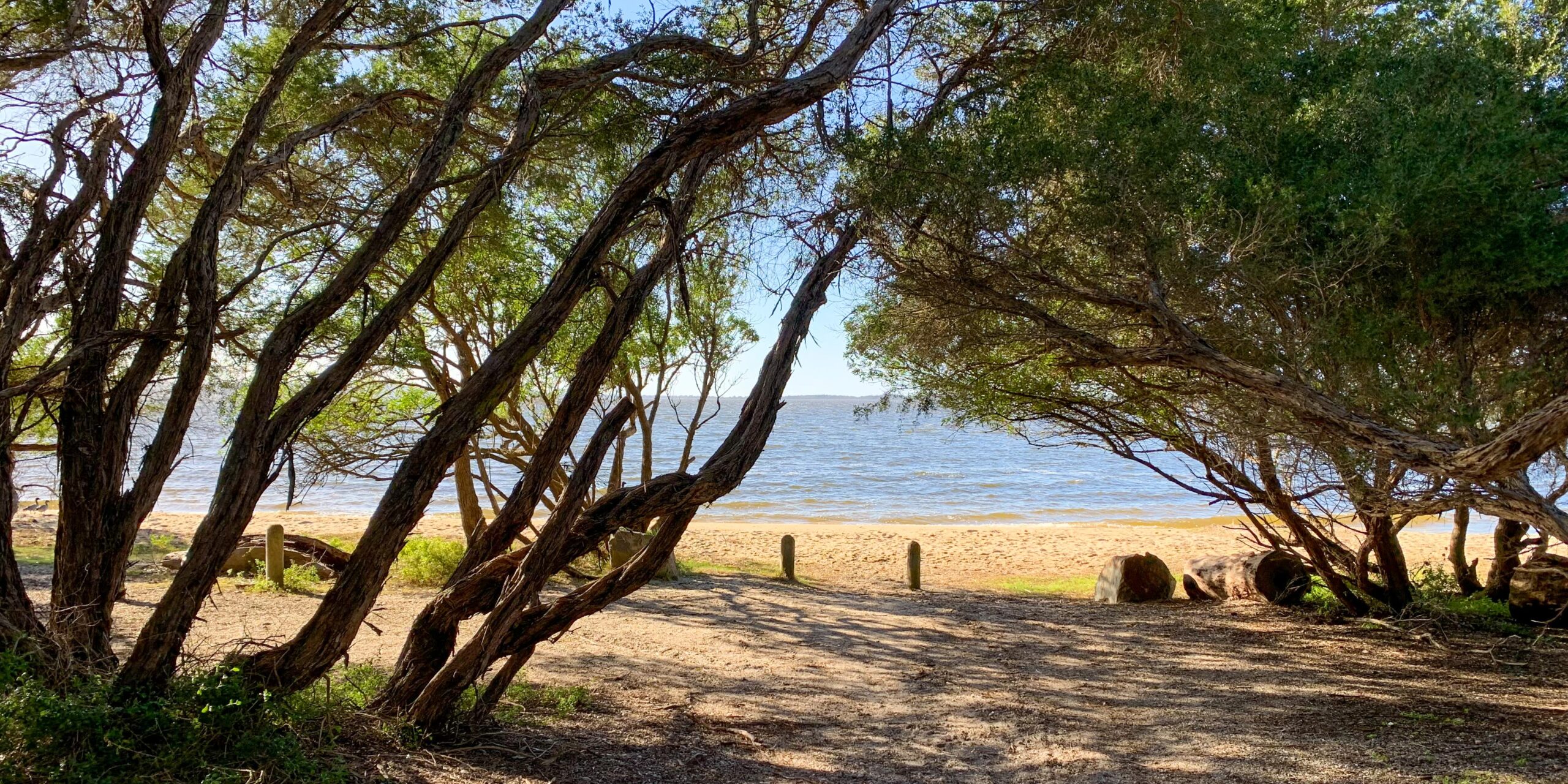
Gunaikurnai camped on this Island, which they called Gragin… it was particularly important for collecting swan eggs, and evidence of scar trees, burial sites and artefact scatters have been found in the area. It is in a strategic location in the lagoon system, providing a line of sight to many of the other important places on the water. Our old people would have used this place to keep an eye on what was going on in the surrounding area.
— Gunaikurnai Whole of Country Plan
The waters of the island remain important to Gunaikurnai for fishing, collecting mussels, catching eels, hunting animals, collecting swan eggs, and gathering various plants for food and medicine.
Raymond Island offers an important opportunity within the joint managed parks to interpret Gunaikurnai cultural interactions with the marine and coastal landscape. The foreshore and forests are rich with materials for activities such as weaving baskets and making canoes, and the island contains a number of archaeological sites.
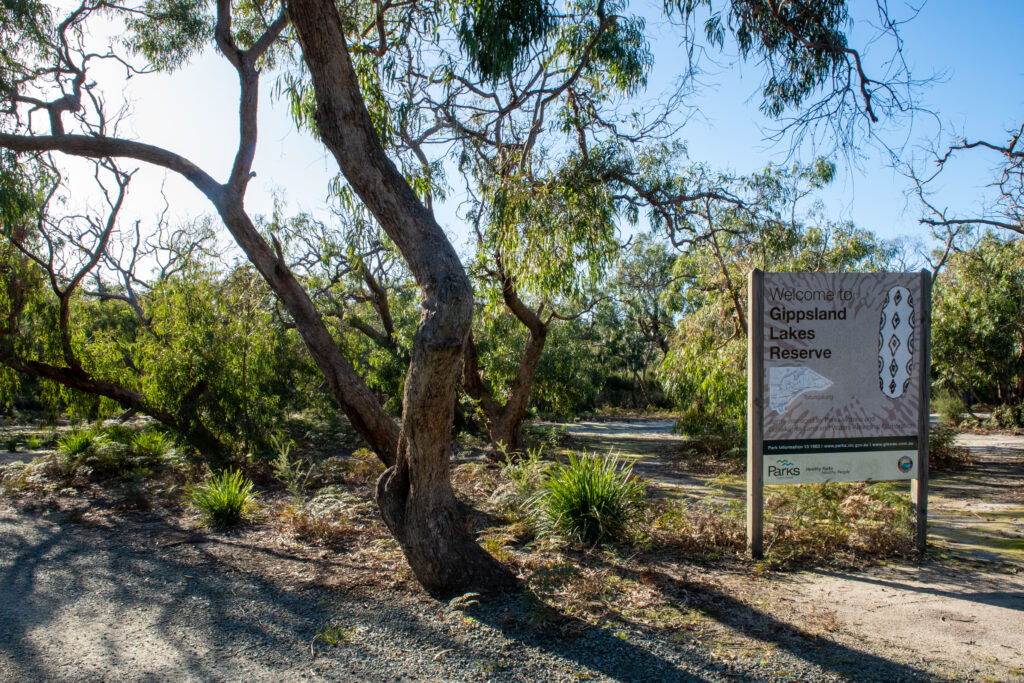
Gippsland Lakes Reserve at Raymond Island is one of the fourteen jointly managed parks and reserves within Gippsland.
The Joint Management Agreement recognises that GunaiKurnai people hold Native Title and maintain a strong connection to Country. As custodians of the land, they are the right people to speak for their Country.
These parks and reserves are cultural landscapes that
continue to be part of GunaiKurnai living culture.

Connecting to Country
Meet Gunaikurnai Cultural Ranger Harley Finn.
Harley loves looking after the Gippsland Lakes Reserve and the opportunity to care for Country as his Elders and Ancestors have done before him.
“To work on my Country, I’ve been waiting for this for years, I wake up every day loving what I do.”
Take a listen to learn more about Harley’s journey to connect with, and heal Country.
Raymond Island is approximately 6.4 kilometres long and 1.8 kilometres at its widest point, and is separated by a narrow channel from Paynesville. About 550 people live permanently in residential areas and farms on the Island. The island is known by Gunaikurnai as Gragin (meaning ‘quartz’) or Bunjil Baul (meaning ‘Mister Island’), a men’s initiation place.
The Gippsland Lakes Reserve at Raymond Island covers 215 hectares (about one-third of the island’s area) in the southern and eastern portion of the island and in a wetland area towards the north‐east corner.
Prior to the grant of Aboriginal Title the reserve was set aside for public purposes, consisting of conservation, education and recreation.
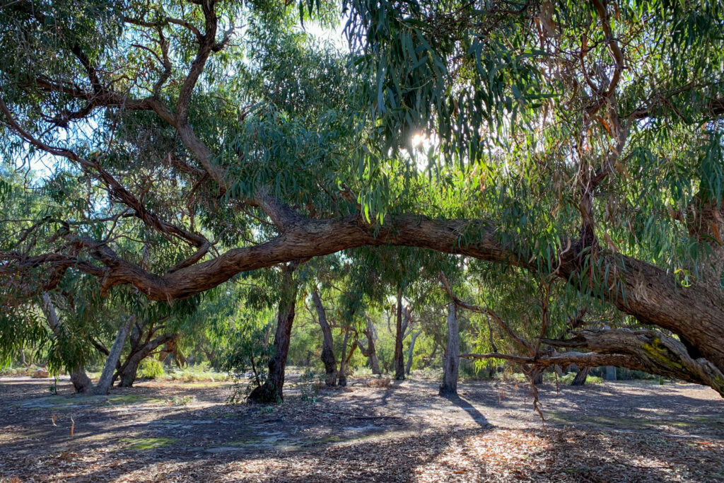
Large areas of native vegetation throughout the Reserve provide habitat for a wide range of fauna, although the overall condition of these areas is poor. Raymond Island is part of the Gippsland Plains Bioregion. Little of its land rises higher than three to four metres above the surrounding lakes, and parts of the northern coast are prone to inundation. The southern coast has several stretches of attractive narrow, sandy beaches.
Much of the island has international recognition as a significant wetland under the Ramsar convention and intergovernmental migratory bird agreements. The reserve supports Plains Grassy Woodland and Swamp Scrub EVCs, which are endangered within the Gippsland Plains Bioregion because of land clearance. Damp Sands Herb rich Woodland is listed as vulnerable. Active rehabilitation programs coordinated by Landcare have assisted with the revegetation in some areas of the reserve.
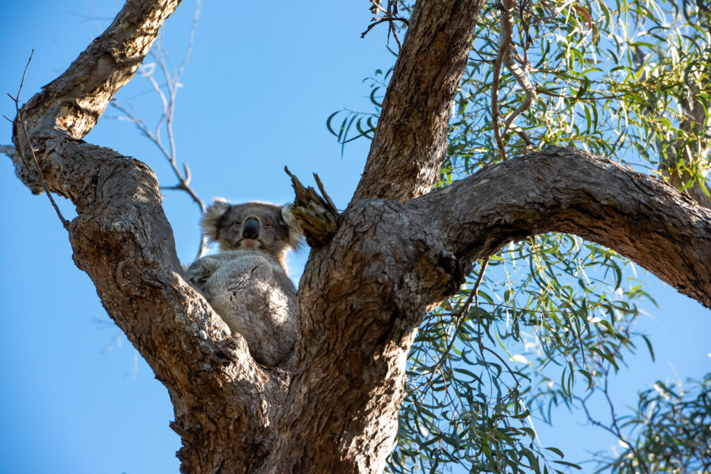
Koalas were introduced to the Island in 1953, and the population grew significantly. Their densities soon became unsustainable as their source of food, mainly Manna Gums, became defoliated and died, leading to mass starvation of the Koala population. Since then there has been active management of the population to protect the Koalas and their habitat.
Koalas are managed by DELWP with support from the other joint management delivery partners and in association with wildlife groups in accordance with Victoria’s Koala Management Strategy (DSE 2004).
The natural environment of Raymond Island and the surrounding waters provides habitat for a wide range of fauna species. Lake King (to the north) and Lake Victoria (to the south) are part of the Gippsland Lakes Ramsar site. The reserve is home to 66 flora species and 191 fauna species, of which five are listed as rare, vulnerable, or endangered.
Green and Golden Bell Frog and Growling Grass Frog have been reported from the reserve, but recent surveys have not confirmed their presence. Significant orchid species including the rare Robust Spider-‐orchid (Caladenia valida) are also present in the reserve.
The catchment surrounding the reserve is one of the most complex natural landscapes in Victoria. The Gippsland Lakes receive water from six major rivers, are subject to dynamic hydrological and tidal processes and are surrounded by a complex mix of land uses including agriculture, fisheries, urban development and tourism.
Several key plans coordinate the natural resource management and development across land categories and agencies within the catchment, including the East Gippsland Regional Catchment Strategy, the Gippsland Lakes Priorities Plan, the Gippsland Lakes Ramsar Site Management Plan and the Gippsland Lakes Sustainable Boating Plan 2016–2018.
The Regional Catchment Strategy sets out the following objectives for the Gippsland Lakes and Hinterland landscape, which includes the reserve:
• targeted improvement of the condition, security, diversity and connectivity of native vegetation
• targeted improvement of the status of threatened species and communities
• targeted improvement of the water quality and freshwater flow regime of the Gippsland Lakes
• targeted provision of appropriate freshwater and salinity regimes for selected fringing wetlands of the Gippsland Lakes
• increased sustainability of land use, with development in appropriate nodes along the Gippsland Lakes coastline
• plan for adaptation of Gippsland Lakes communities to changing conditions along the coastline.
The Gippsland Lakes Reserve at Raymond Island is on the Country of the Tatungalung clan. The Gunaikurnai Whole of Country Plan (GLaWAC 2015) sets out the following management priorities for the reserve:
• looking into the possibility of establishing an Indigenous Protected Area to help maintain the reserve’s good condition
• looking into buying strategic parcels of land to reconnect and bring back the forest, investigating opportunities with the Indigenous Land Corporation and other funding mechanisms
• formally identifying and protecting burial sites
• renaming streets with Gunaikurnai names and sharing information about our traditional past, to balance the settler perspective of history
• undertaking more cultural surveys to get a better picture of what happened on the Island.
While recognising these priorities, this plan sets out actions that are consistent with and limited to
the terms of the 2010 Recognition and Settlement Agreement.
Raymond Island has an active residential community that is very engaged in the management of the reserve and the island’s environment. The land and water areas of much of the reserve are less accessible and prominent than the other jointly managed parks and reserves, but the presence of Koalas attracts significant numbers of visitors including international tourists.
Under joint management, there is an opportunity for the Gunaikurnai, Parks Victoria, community groups, local residents and other government organisations to work closely to maintain and enhance the important natural values of the reserve.
The proximity of the reserve and its small size presents an opportunity for the Gunaikurnai to demonstrate their capacity as joint managers and develop a strong relationship with the local community and visitors to the reserve.
The popularity of the island presents opportunities to present an enhanced and broader tourism experience through the development of a formalised walking track network, guided Koala spotting walks and cultural activities.
Click here to read the full Joint Management Plan for The Gippsland Lakes Reserve at Raymond Island
