Lake Tyers State Park
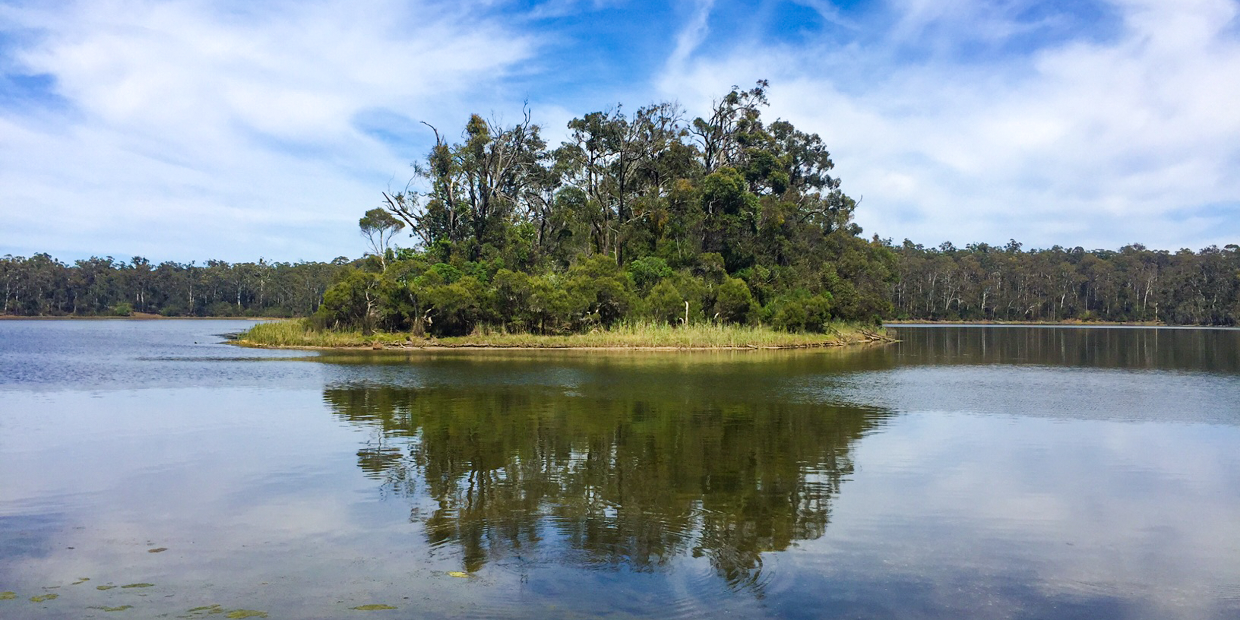
Bung Yarnda (Lake Tyers) was an important meeting place for Gunaikurnai groups throughout the area. It was a neutral place that was rich in food and materials.
It is the place our mob lived when we were forcibly removed from our homelands by European settlers. The catchment area surrounding the Lake Tyers Aboriginal Trust is also very significant to us.
Our ancestors often passed through this bushland to get to and from Bung Yarnda, as we continue to do today. The catchment area is where a lot of our mob lived, camped and fished.
It is an abundant place providing us with food all year round. And it is a beautiful place — you can see why the old fellas went there. There are many recorded sites — scar trees, artefact scatters, birthing places and burial sites.
Lake Tyers State Park is one of the fourteen jointly managed parks and reserves within Gippsland.
The Joint Management Agreement recognises that GunaiKurnai people hold Native Title and maintain a strong connection to Country. As custodians of the land, they are the right people to speak for their Country.
These parks and reserves are cultural landscapes that
continue to be part of GunaiKurnai living culture.

The Road To Recognition
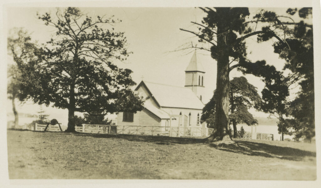
The Lake Tyers Mission was first set up in 1861 as a reserve for the accommodation of Aboriginal people who had been forcibly removed from their families and homelands. It was part of the colonial government’s policy of the ‘protection of Aborigines’ and became home to Indigenous people from all over Victoria.
Unlike many other Aboriginal reserves, Lake Tyers Mission provided some freedom and independence for its Indigenous residents. The Aborigines Protection Board took over the management of Lake Tyers in 1908, and from the 1930s began to force people off the reserve. This process continued in the 1950s under the government’s assimilation policy.
The Bung Yarnda people fought to retain management of the land and control was handed over to the Lake Tyers Aboriginal Trust in 1971 under the newly established Aboriginal Lands Act. This was one of the first successful Aboriginal land rights claims in Australia’s history. Today the Lake Tyers Aboriginal Reserve is the private property of the Lake Tyers Aboriginal Trust.
Lake Tyers State Park and the Lake Tyers Trust land together form one of the most significant cultural and historic places in Victoria for Aboriginal people. The Mission site was chosen in part because it was known as a traditional Gunaikurnai gathering place, and it remains one of only two mission locations where Aboriginal people continue to live in the present.
Lake Tyers State Park is about 20 kilometres north-‐east of Lakes Entrance and comprises 8680 hectares of land, extending from Lake Tyers Beach to Mount Nowa Nowa.
The park was proclaimed in 2012 on land that had largely been previously reserved under the Forests Act 1958 (Vic.) as a forest park. It consists of undulating, densely forested country surrounding two tidal estuaries, the Toorloo Arm and the Nowa Nowa Arm, as well as a narrow spit of land between the Lake and Bass Strait. Additional land was added to the park in 2014.
The park borders substantial areas of private land on the western side of the Nowa Nowa Arm, including the Lake Tyers Aboriginal Reserve, which is owned by the Lake Tyers Aboriginal Trust. The western and eastern boundaries of the park border State forest.
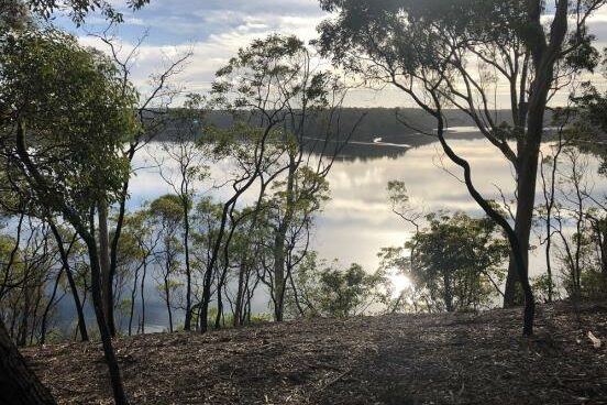
Lake Tyers was formed as the sea rose after the last Ice Age and flooded the valleys of Boggy and Stony creeks, with a dune barrier forming at the entrance. A thin sand spit divides the lake from Bass Strait. The lake is characterised by many small inlets and fingers of land that descend to the lake from the higher ridges.
The lake and its shores contain a variety of terrestrial and aquatic habitats that support a diverse array of plant and animal species and communities. The islands, mud banks, shoreline vegetation and saltmarsh communities found in Lake Tyers are home to a number of species including migratory birds and waders. Coastal salt marsh communities occur mainly around the southern shoreline of the lake, including The Glasshouse.
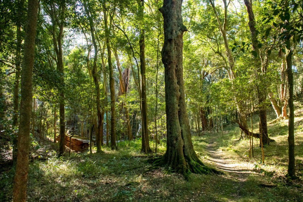
Tall eucalypt forests surrounding the northern shores of Lake Tyers, and small pockets of nationally listed Littoral Rainforest communities, shoreline vegetation, fringing wetlands and the coastal barrier dunes between the estuary and Bass Strait, are of particular significance.
There are several recorded caves in the park, one of which is substantial and is used by Eastern Horseshoe Bats and other bat species. Outside but adjacent to the park, stands of seagrass cover substantial areas of the estuary, particularly the southern part of the lake, and Nowa Nowa Arm.
Seagrass and salt marsh communities provide important habitat, feeding and nursery grounds for a range of aquatic biota, including fish species.
This joint management plan is the first management plan prepared for the park since its proclamation in 2012. The Plan reflects both the new arrangements and goals of joint management, as well as the change in legislated objectives for the park under the National Parks Act.
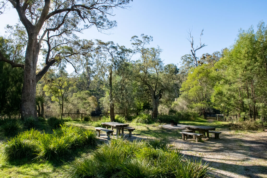
Lake Tyers has long been an important place for the local community and for visitors especially for fishing, boating and camping in a forested setting. It is highly accessible to Lakes Entrance, Bairnsdale and travellers along the Princes Highway but feels remote and natural. A large array of important bird species and other animal and plant species inhabit the waters, forest, dunes and rainforest of this special place. The richness of the land and water underpinned the use and occupation of the park by Gunaikurnai.
In more recent times recreational use of the park has been intensive and relatively informal with numerous vehicle tracks, camping areas and minimal facilities. That pattern of use has brought problems including off-‐road driving, uncontrolled boat launching and camping on the shoreline of the
Lake in both the park and on the land of the adjacent Lake Tyers Aboriginal Trust, as well as rubbish dumping and other impacts. Lake Tyers is on the Country of the Krauatungalung clan. The Gunaikurnai Whole of Country Plan (GLaWAC 2015) sets out the following management priorities for Lake Tyers State Park:
• reducing public access points to the river
• undertaking compliance activities in the park to protect significant and vulnerable sites
• planning and developing sustainable use areas, including building playgrounds in the park
• working with authorities to help manage for sustainable fisheries
• clarifying resource extraction rights including firewood for Traditional Owners
• developing an agreement for the many significant areas that lie just outside the (Aboriginal Title) area.
While recognising these priorities, this management plan sets out actions that are consistent with and limited to the terms of the 2010 Recognition and Settlement Agreement. The plan aims to ensure that Lake Tyers State Park continues to be a place for many visitors to enjoy for camping, fishing, boating, walking and sightseeing, but to reduce the impacts of that use on the land, water and cultural heritage of the park. To achieve this, the design and quality of visitor areas and facilities will be improved, and vehicle access and boat launching will be controlled in sensitive
areas.
The plan also emphasises the broader landscape of Lake Tyers especially the links between the park, the Lake Tyers Trust Land and Nowa Nowa township. Lake Tyers, the place not just the park, is a very significant location in the history of Victoria and the interaction between Aboriginal and non Aboriginal people. The plan aims to conserve, interpret and promote these links.
Click here to read the full Joint Management Plan for Lake Tyers State Park
